KIRIOLL
From scan to model in no time
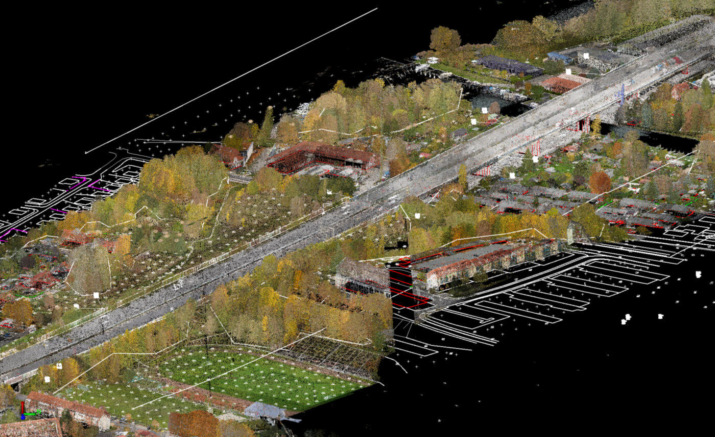
Welcome to a webpage of a project dedicated to developing an innovative solution for creation highly automated digital data models of large-scale linear structures. By integrating advanced 3D scanning technology with AI, this project aims to produce accurate representations of highways and their components, enabling the automated generation of detailed engineering drawings and 3D BIM and GIS models.
Let's find out how we do it:
Our goals
High-Precision Data Collection
We collect accurate, high-quality data along extensive stretches of highways or similar linear structures. This data serves as a reliable foundation for model-based outputs.
Automating Data Processing
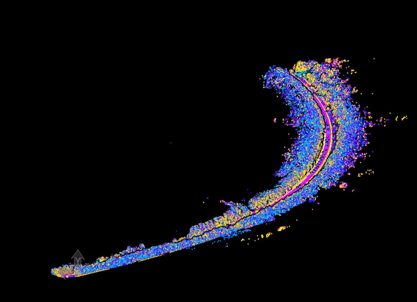
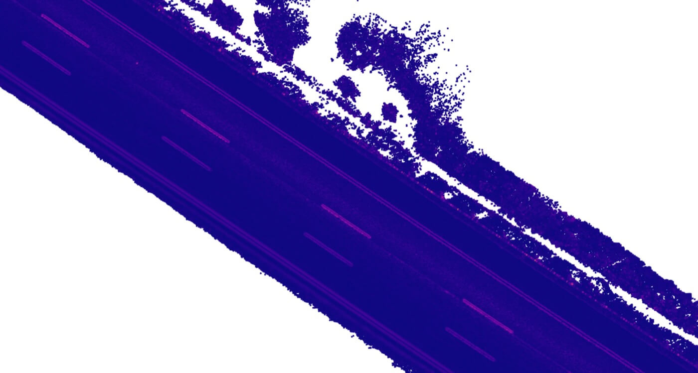
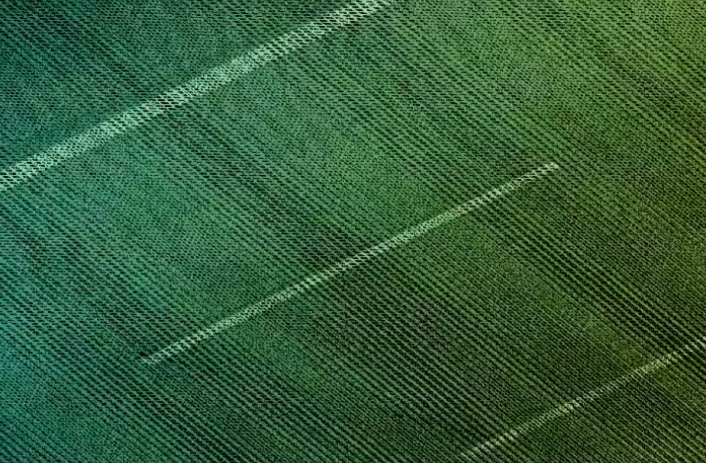
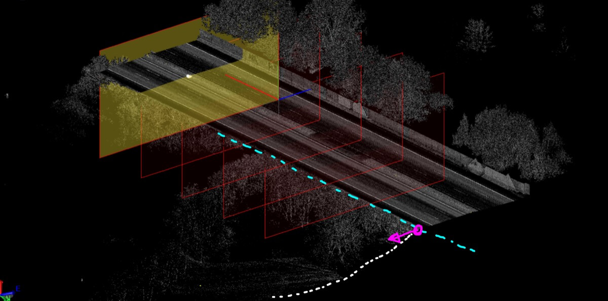
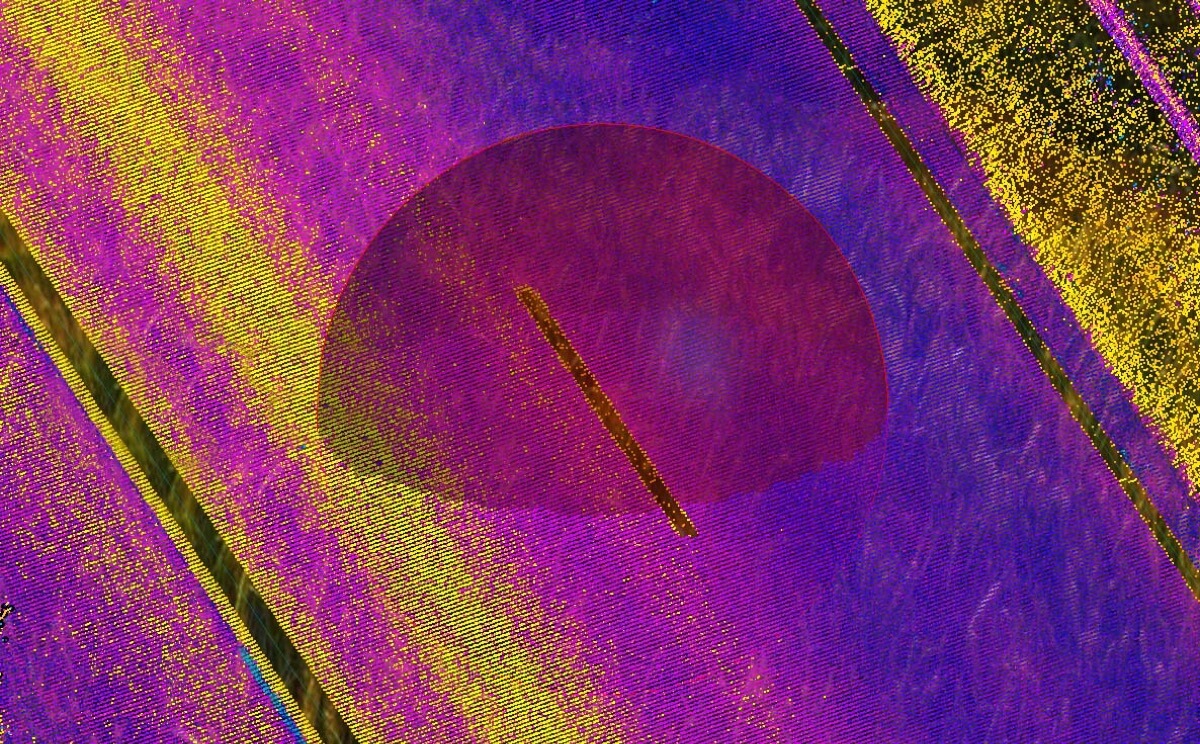
Large point cloud datasets can be time-consuming to process manually. Our aim is to automate as much of this workflow as possible, reducing the labor required and making data handling more efficient.
Scalable for Large Infrastructure
Highways can span thousands of kilometers. We are developing processes capable of capturing and analyzing data for virtually limitless lengths of these structures.
Delivering Comprehensive Results
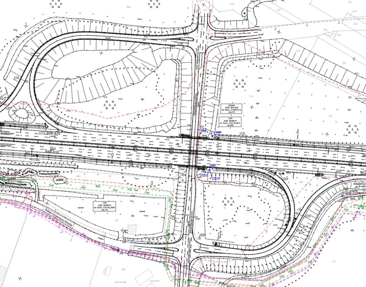
We strive to provide high-precision outputs in multiple forms, such as 2D plans, 3D models, asset inventories, and GIS data.
Vermessungsbüro Rink GbR, Lang&Lang GmbH and ioLabs AG share a passion for smart, effective solutions and have joined forces to improve existing workflows to make the production process faster and more accurate. We want to effectively process large amounts of data — thousands of kilometers of highway sections to be 3D scanned and documented — in the shortest possible time and to develop an innovative solution for digital data models of large linear structures.



Key features
One-Button Solution
Our approach minimizes manual intervention by automatically processing raw input data into structured outputs. A manual quality check remains possible, feeding back into the system to continuously enhance overall process quality.
Compatibility
We support a wide range of industry-standard formats, ensuring seamless integration with existing workflows. From descriptive 2D plans and asset lists to complex 3D models and GIS datasets, our outputs fit diverse project needs.
Efficiency
By leveraging automated object recognition and machine learning, we significantly reduce processing time for long linear structures. This automation ensures faster data generation compared to manual workflows while maintaining high accuracy.
Processing ability
Beyond delivering final outputs, we focus on generating data that remains adaptable for further processing. Our results are compatible with standard CAD and GIS software, enabling flexible use across different applications.
Use of outputs
We are able to seamlessly integrate output into Common Data Environments (CDEs), such as ACC, with both geometry and rich meta-data. Once imported, the models are automatically converted into CDE objects, enabling effortless management and further processing tailored to specific use cases. And all that in compliance with ISO 19650.
This streamlined workflow empowers this tool to cover the entire cycle — from data capture to operation — ensuring efficiency and precision at every stage.
Result
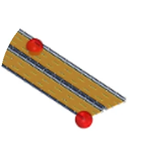
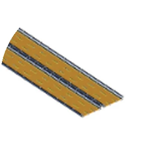
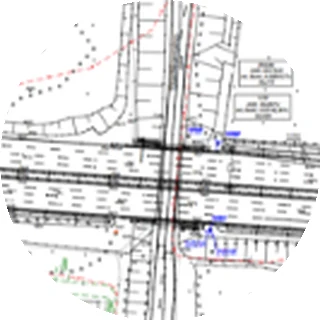
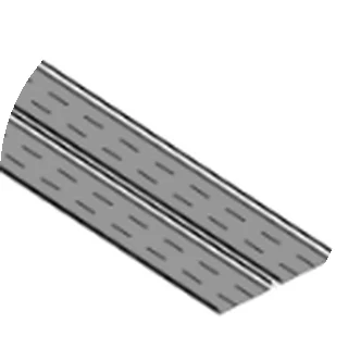
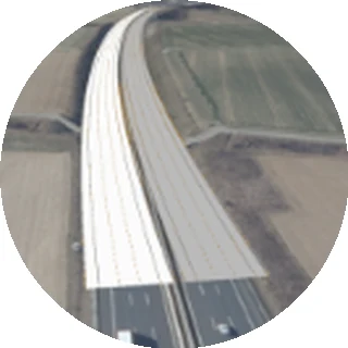
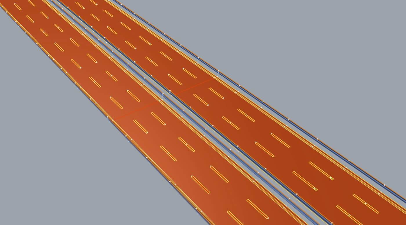
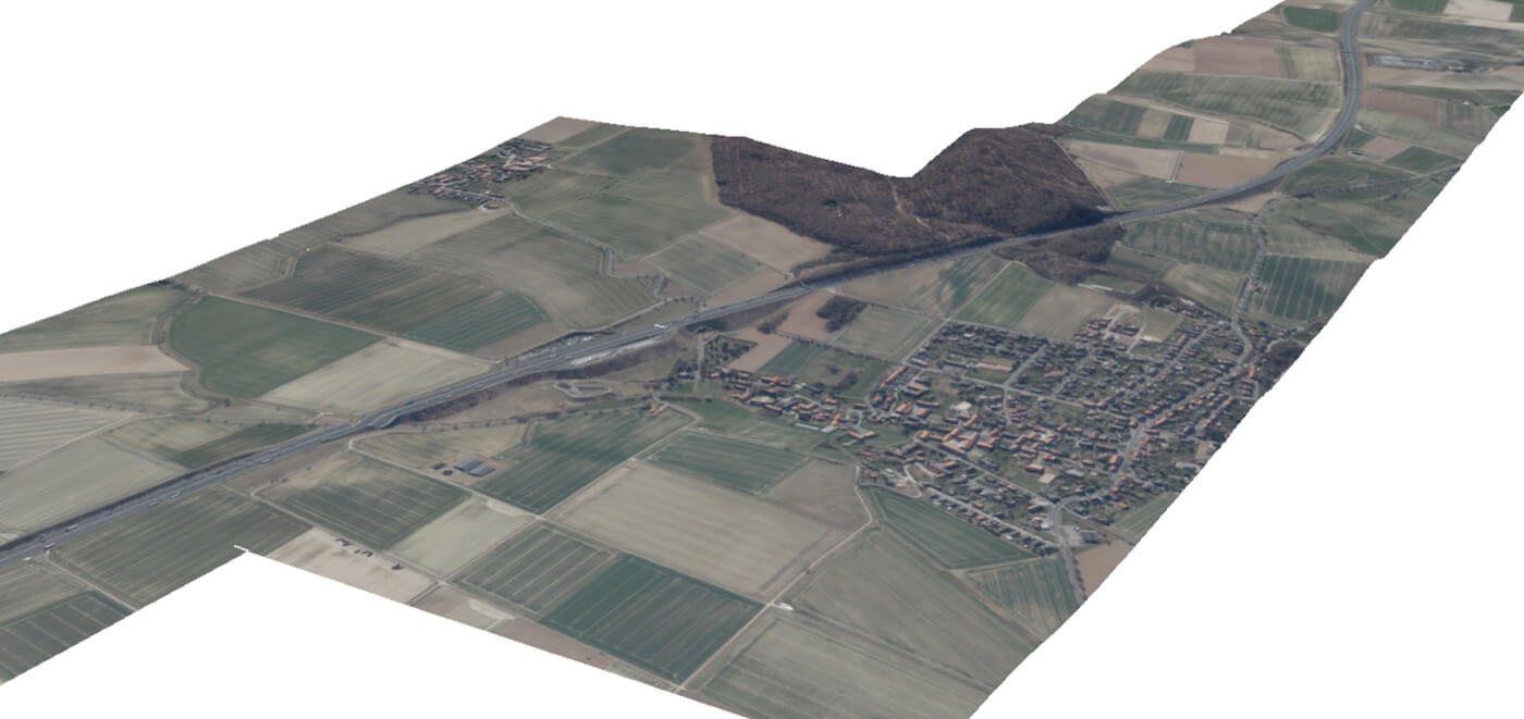
Once all the steps described are completed, there are a variety of output options. We produce accurate 3D models with all defined elements in place and correctly georeferenced. Our models contain all the necessary data to be used throughout the production process. 3D models are also converted into high quality GIS data, allowing the creation of large scale models that can be supplemented with other GIS layers such as terrain or various types of maps. The generated geometry is also converted to 2D plans for more conventional use cases.
-
2D plans
- Standardized 2D drawings in PDF and DWG formats
- Additional formats available upon request
-
Asset Collection
- Comprehensive list of objects on and alongside the highway
- Provides a robust foundation for CAFM
-
3D BIM Model
- Developed using Autodesk Civil 3D, Revit, or Rhinoceros 3D
- Additional formats available upon request
-
GIS Model
- Advanced ArcGIS Pro and ArcGIS Online models
- Additional formats available upon request
Gallery
 Lorem ipsum dolor sit amet, consectetur adipiscing elit sed do eiusmod.
 Ut enim ad minim veniam, quis nostrud exercitation ullamco laboris.
 Duis aute irure dolor in reprehenderit in voluptate velit esse cillum.
 Excepteur sint occaecat cupidatat non proident, sunt in culpa qui officia.
 Sed ut perspiciatis unde omnis iste natus error sit voluptatem accusantium.
 Nemo enim ipsam voluptatem quia voluptas sit aspernatur aut odit aut fugit.
 Neque porro quisquam est, qui dolorem ipsum quia dolor sit amet consectetur.
 Quis autem vel eum iure reprehenderit qui in ea voluptate velit esse.
 At vero eos et accusamus et iusto odio dignissimos ducimus qui blanditiis.
How does it work?
From 3D scanning and point clouds to automated extraction, modeling and revision — explore the complete process that turns raw data into precise highway models.
How it works